Paragraph 1: Weather Warning and Traffic Disruptions
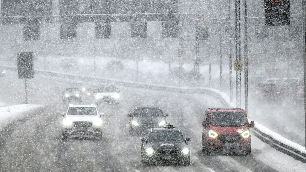
The Swedish Meteorological and Hydrological Institute (SMHI) has issued a yellow weather warning for heavy snowfall combined with strong winds across parts of Götaland and Svealand in southern and central Sweden. Western Götaland is experiencing significant snowfall, leading to widespread traffic disruptions. Reports indicate a snowplow became stuck in the Gerum tunnel on the E6 highway in Tanum municipality. Additionally, a complete standstill was reported on Route 678 in Uddevalla municipality between Bratterödsmotet and Råsserödsmotet, with several trucks stranded, one of which was blocking the road. Sveriges Radio’s traffic department strongly advised against all non-essential travel until the storm subsides.
Paragraph 2: Expert Advice and Travel Delays
SMHI meteorologist Linus Karlsson echoed this advice, emphasizing the challenging road conditions and urging drivers to exercise extreme caution and anticipate significant delays. He also warned of potential delays in public transportation. Train services in western Sweden were cancelled due to the severe weather, as reported by SJ, the national railway operator. The yellow warning zone extends from Helsingborg in southern Sweden up to Karlstad in Värmland and past Norrköping in Östergötland, and is in effect throughout Friday morning. Temperatures within the affected region are expected to hover between 0 and -5 degrees Celsius. The heavy snow and strong winds are attributed to a low-pressure system moving in from the west.
Paragraph 3: High Winds and Maritime Concerns
Beyond the snow and wind warnings for land areas, SMHI also issued warnings for strong winds over almost the entire Baltic Sea. Gotland and Öland are forecast to experience strong winds of 15-20 meters per second during Friday morning, intensifying to near-gale force by the afternoon. SMHI emphasized that wind gusts could be significantly stronger. While acknowledging the significant wind speeds, Karlsson stated that such conditions are not unusual in connection with low-pressure systems. Furthermore, SMHI issued warnings for potential ship icing in the Bothnian Bay and Bothnian Sea.
Paragraph 4: Weather Forecast and Outlook
The low-pressure system responsible for the severe weather is expected to move eastward during the day, potentially leading to clearing skies in southern Sweden where heavy snow fell during the morning. Light snowfall is possible in northern parts of the country. The weekend forecast predicts calmer weather across the country with sub-zero temperatures in most areas. Light snow is possible in southern regions on Sunday night into Monday.
Paragraph 5: Understanding Weather Warnings
The yellow weather warning issued by SMHI signifies potentially hazardous weather conditions. While not as severe as an orange or red warning, it advises the public to be aware of the potential impacts and to take necessary precautions. This includes staying informed about weather updates, avoiding unnecessary travel, and being prepared for potential power outages or disruptions to infrastructure. The combination of heavy snow and strong winds can create blizzard-like conditions, reducing visibility and making travel extremely dangerous.
Paragraph 6: Context and Additional Information
The SMHI provides regular weather updates and warnings to help the public prepare for and mitigate the impacts of severe weather. The institute has recently revised its warning system to provide clearer and more consistent information. For more detailed information on the specific warnings and their implications, the public is encouraged to consult the SMHI website and other reliable weather sources. Staying informed and prepared is crucial for ensuring safety during periods of inclement weather.


